
SmartFootprint™ for Oceans 

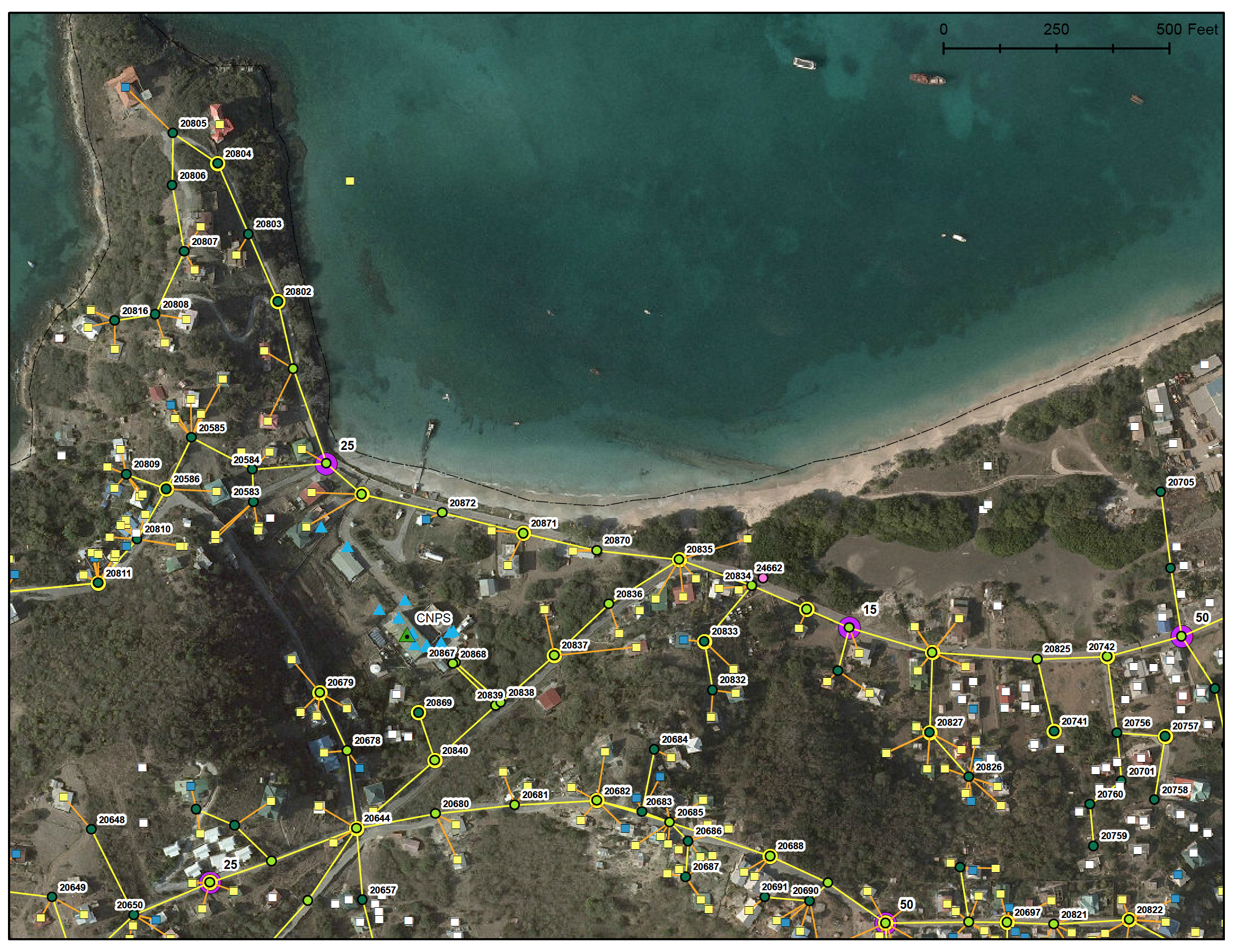
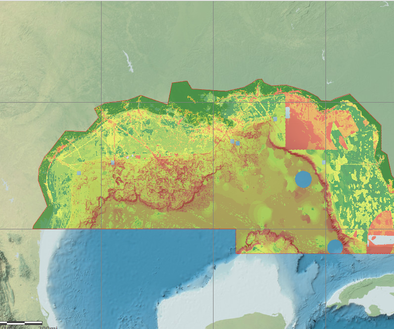

Offshore routing of oil and gas pipelines and communication cables presents unique challenges to planners. The geology and relief of the seabed, wave energy, and submarine geohazards affect the engineering requirements of pipelines and cables in ways not present on land. Shipping routes, fisheries, sensitive environmental zones, and existing energy infrastructure are only a few of the additional factors which must be considered in planning undersea transmission routes.
Designed for use early in the planning process, SmartFootprint™ for Oceans helps minimize the cost of geophysical survey by selecting optimal routes using suitability modeling customized for offshore environments.
SmartFootprint™ Provides Offshore Routing Planners:
- Capability to create, analyze, query, investigate, and visualize optimal utility routing in offshore environments
- Analysis of seabed suitability to avoid mechanical damage and risk to pipelines
- Tools to avoid pipeline crossovers, and provide crossing report data to assist planners where crossovers occur
- Alternate routing options through high-risk areas
- Ability to identify and reduce impact to environmentally vulnerable areas
SmartFootprint™ Benefits:
- Minimize cost
- Maximize efficiency
- Limit scheduling conflicts
- Reduce ecological impact