SmartFootprint™ SOLUTIONS 
SmartFootprint™ plays a key role in oil and gas and alternative energy projects. SmartFootprint™ provides an easy to use simulation environment that supports sound decision-making with regard to pipeline routing, pipeline cost analysis, and risk mitigation; essentially putting advanced tools into the hands of decision makers at all levels of management. Details here.
SmartFootprint™ focuses on supporting smart planning for design and construction of electric and water utilities’ infrastructure. SmartFootprint™’s decision-making tools call upon multiple types of input data to create composite maps to determine least-cost paths for utilities, minimizing cost and environmental impact. These solutions integrate dozens of weighted criteria (environmental, demographic, cultural, cost, etc.) to build raster cost surfaces/heat maps. Details here.
SmartFootprint™ for Oceans uses a suite of tools to model offshore route options which are technically feasible, cause minimal environmental impact, and can be constructed at reasonable cost. Details here.
SmartFootprint™’s flexible decision-making tools can be applied to a variety of conservation and planning efforts. Using various input data ranging from parcel size, population density, and environmental factors such as protection of watersheds and endangered species, SmartFootprint can provide a series of maps to be used as decision-making tools for optimizing urban planning and protecting environmentally sensitive areas. Details here.
Earth Analytic assists in ranch management by providing development, implementation and support of customized GIS/GPS systems and geospatial databases, GIS data ‘mining’, and GPS data collection. Details here.
SmartFootprint™ provides an easy to use simulation environment that supports sound decision-making with regard to planning, siting, routing, cost analysis, and risk mitigation; essentially putting advanced tools into the hands of decision makers at all levels of management.
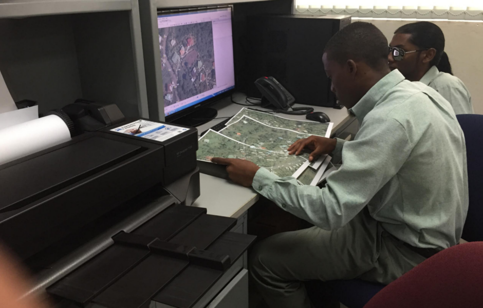
GIS-ENABLED SOLUTIONS
GIS-Enabled Archaeology
Earth Analytic is distinguished by our depth of experience in an array of earth science and archaeological studies. We develop, implement and support GIS/GPS systems customized to archaeological and historical investigation, three-dimensional models of artifact distribution and stratigraphy, archaeological database management design and implementation, and modeling of prehistoric landscapes.
GIS-Enabled Ski Area Management
EAI provides ski areas with an integrated mapping spatial data management and analysis solutions for multiple ski area departments. These solutions entail hands-on training, terrain analysis, and GIS online web application development. Ski area solutions leverage 3D visualization using the robust capabilities of the new ArcGIS Pro desktop application.