

EARTH ANALYTIC specializes in science-based design, implementation, and management of geographic information systems for energy and conservation projects.
We provide a broad spectrum of mapping, geospatial analysis, consulting, and environmental services for scientists, engineers, planners, land managers, energy and utility companies, conservation groups, and governmental agencies.


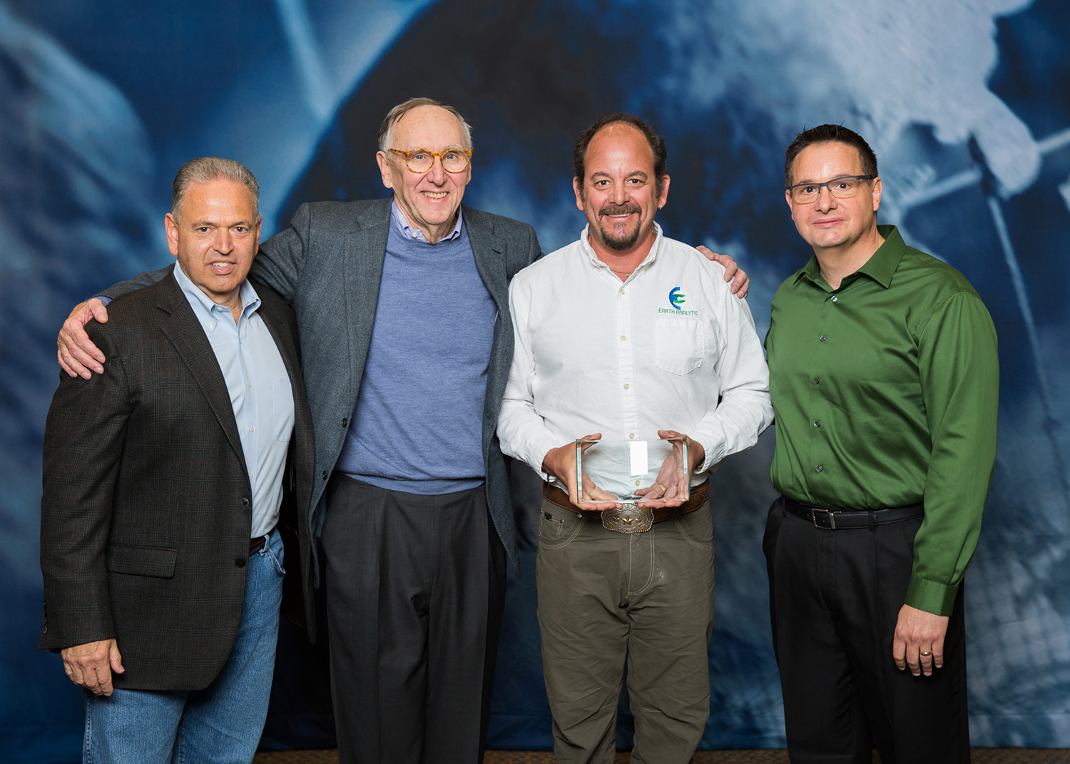
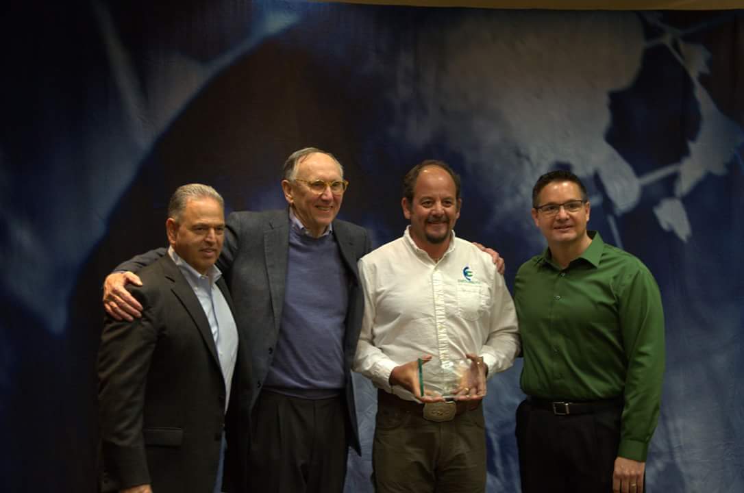
Earth Analytic is proud to be the recipient of Esri’s 2016 Business Partner Conference Award for Best Use of Spatial Analysis & Analytics for SmartFootprint™!
GIS Solutions
Data is power. We get to know your business and your challenges, then provide custom, GIS-enabled data solutions to help you tackle problems. Learn More.
Smart Footprint™
SmartFootprint™ provides an easy to use simulation environment that puts sound decision-making into the hands of decision makers. Get details here.
Our Clients
We work with clients across a variety of industries who bring us complicated data challenges that require creative, systems thinking. See our client list.
Our Partners
Powerful partnerships enable small businesses to do great things. We are proud to partner these business to bring big outcomes to every project. Read more about here.

CASE STUDIES

Taos Ski Valley Area
SmartMountain - GIS-enabled ski area management
EAI provided Taos Ski Valley (TSV) with the design and implementation of a foundational Geographic Information System (GIS) for the TSV Skier Safety Program.
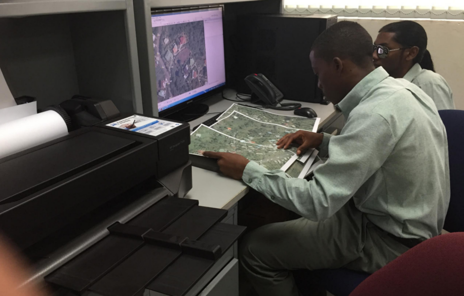
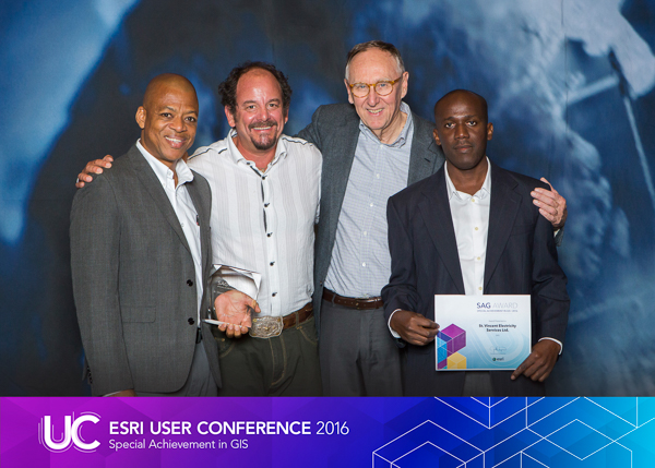
VINLEC
Public Utilities, SmartFootprint™
The routing capabilities of SmartFootprint™ are ideal for managing and construction of public utilities.

New Mexico’s Santa Fe County
Conservation & Planning, SmartFootprint™
SmartFootprint™’s flexible decision-making tools can be applied to a variety of conservation and planning efforts.