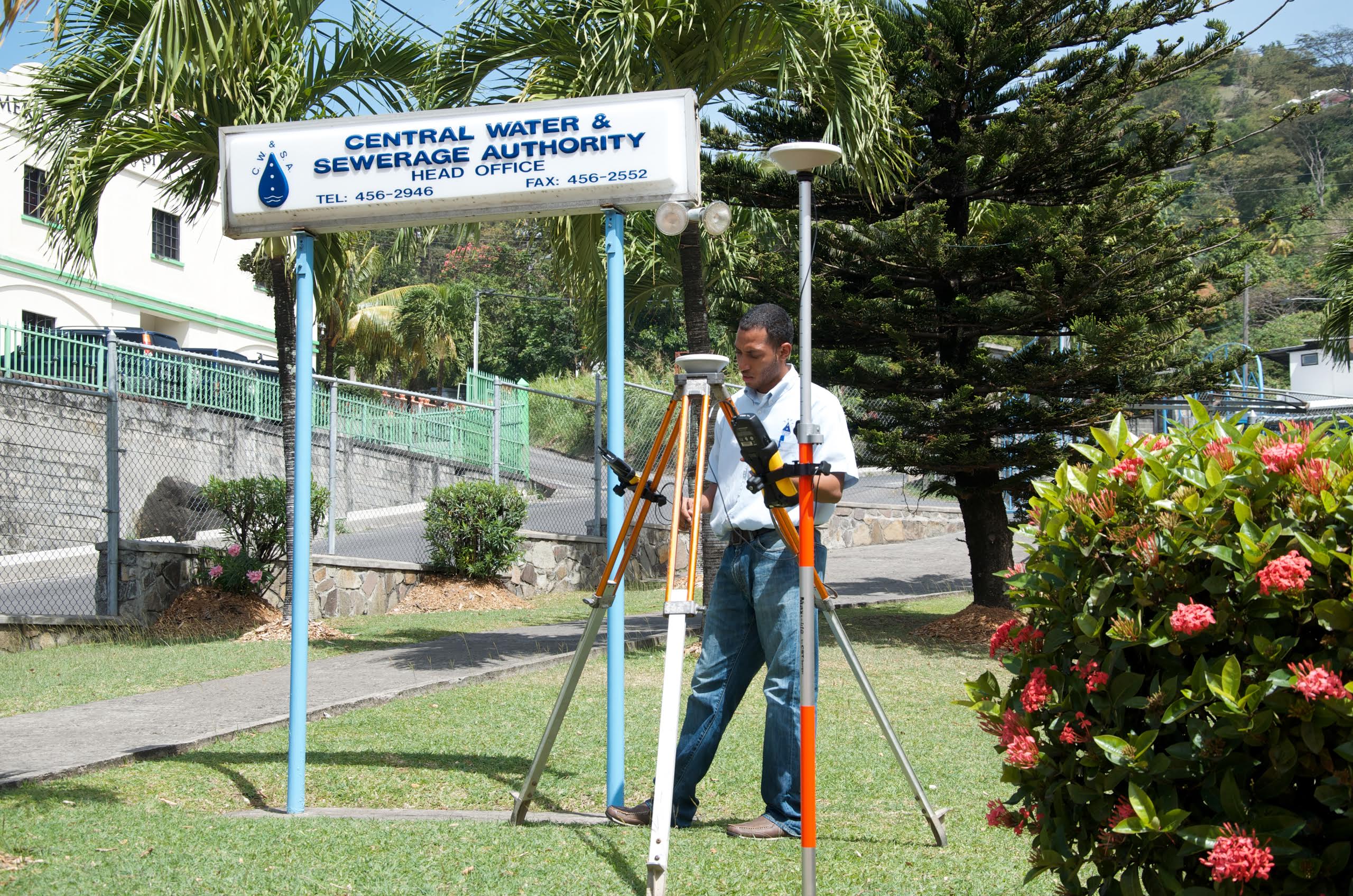
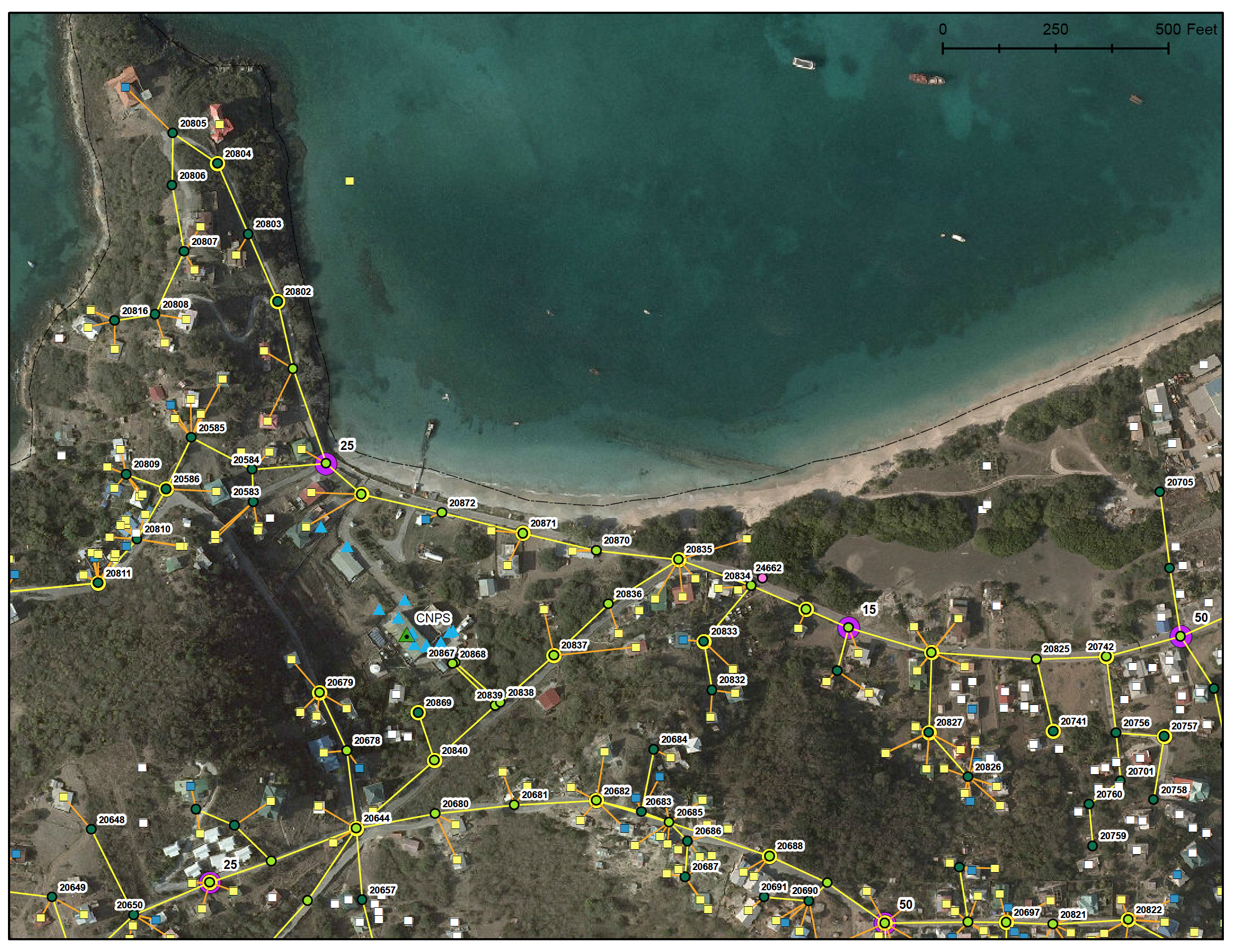
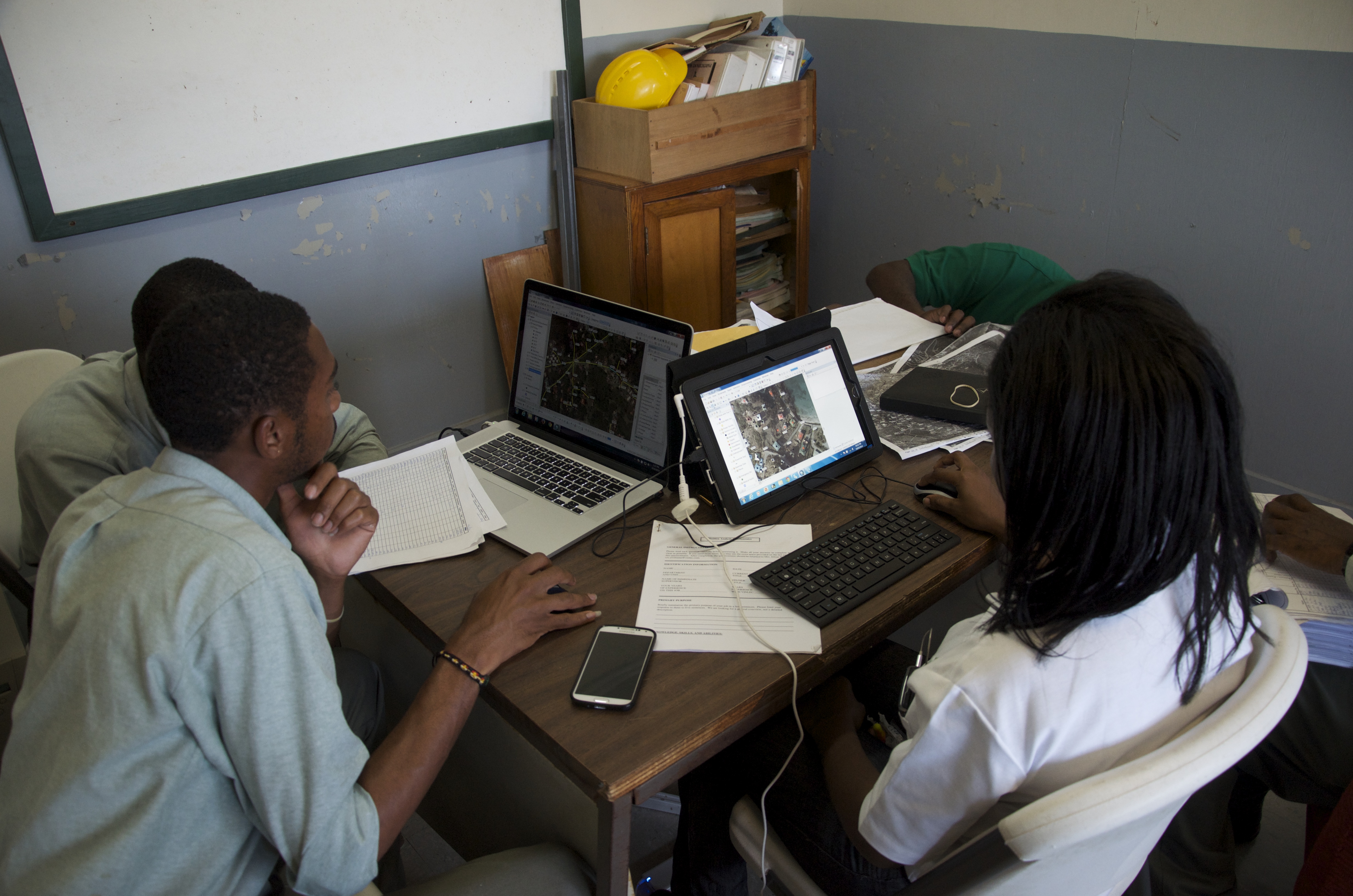
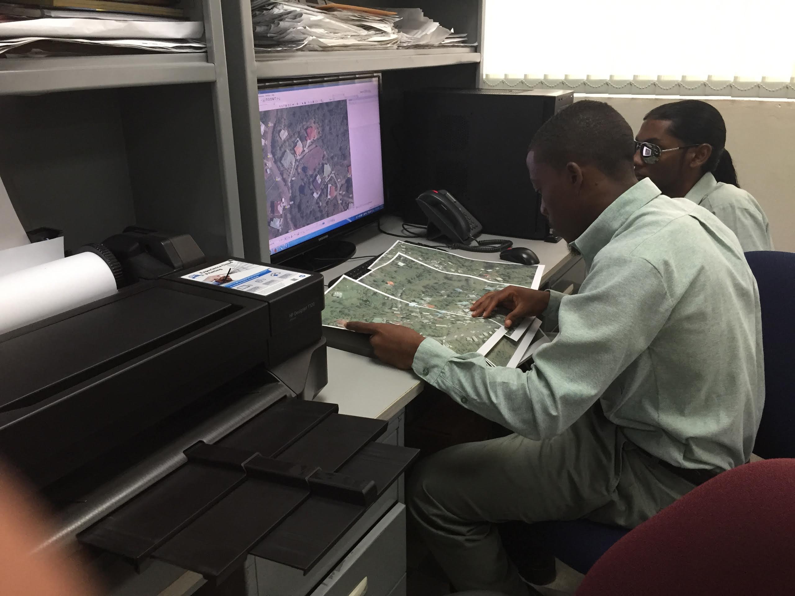
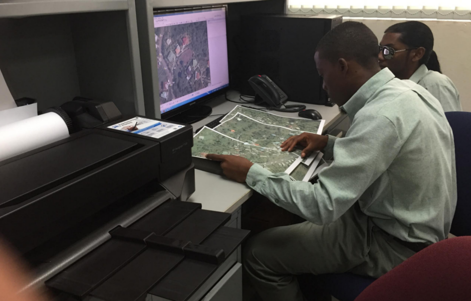
SmartFootprint™ focuses on supporting smart planning for design and construction of electric and water utilities’ infrastructure. SmartFootprint™’s decision-making tools call upon multiple types of input data to create composite maps to determine least-cost paths for utilities, minimizing cost and environmental impact. These solutions integrate dozens of weighted criteria (environmental, demographic, cultural, cost, etc.) to build raster cost surfaces/heat maps.
SmartFootprint™ Provides Public Utilities:
Capability to create, analyze, query, investigate, and visualize optimal utility routing for consideration
Accurate estimates for utility infrastructure costs
Cost estimates for manually-edited utility route features
High-resolution utility route elevation profile
Detailed crossing reports (e.g. roads, streams, etc.)
Tools for optimized site selection for facilities (e.g. electrical sub-station)