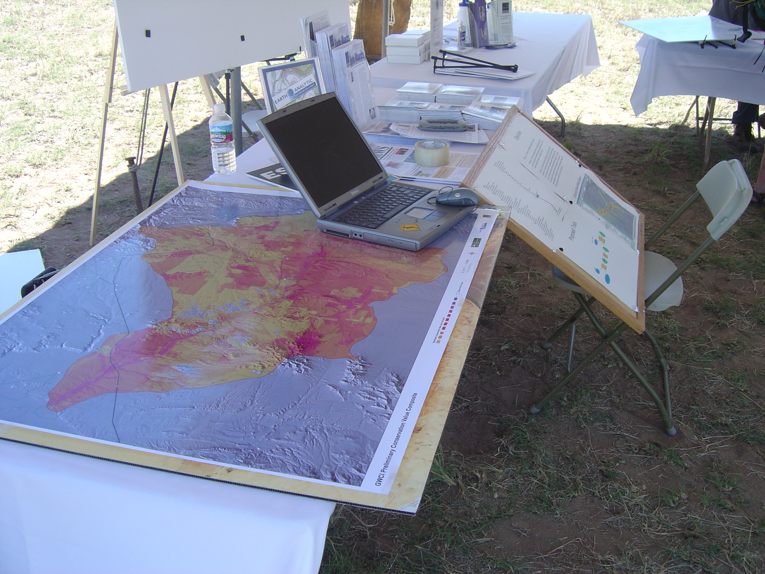
SmartFootprint™’s flexible decision-making tools can be applied to a variety of conservation and planning efforts. Using various input data ranging from parcel size, population density, and environmental factors such as protection of watersheds and endangered species, SmartFootprint can provide a series of maps to be used as decision-making tools for optimizing urban planning and protecting environmentally sensitive areas. The flexibility of SmartFootprint™ allows decision makers to use the same input datasets with differing criteria to solve different kinds of problems as they arise.
SmartFootprint™ Provides Conservationists and Planners Tools for:
- Land use planning
- Urban planning
- Open space/parks planning
- Habitat protection/restoration
SmartFootprint™ Benefits:
- Minimize cost
- Maximize efficiency
- Optimize land use
- Reduce ecological impact


