
SmartFootprint™ for Ranch Management 
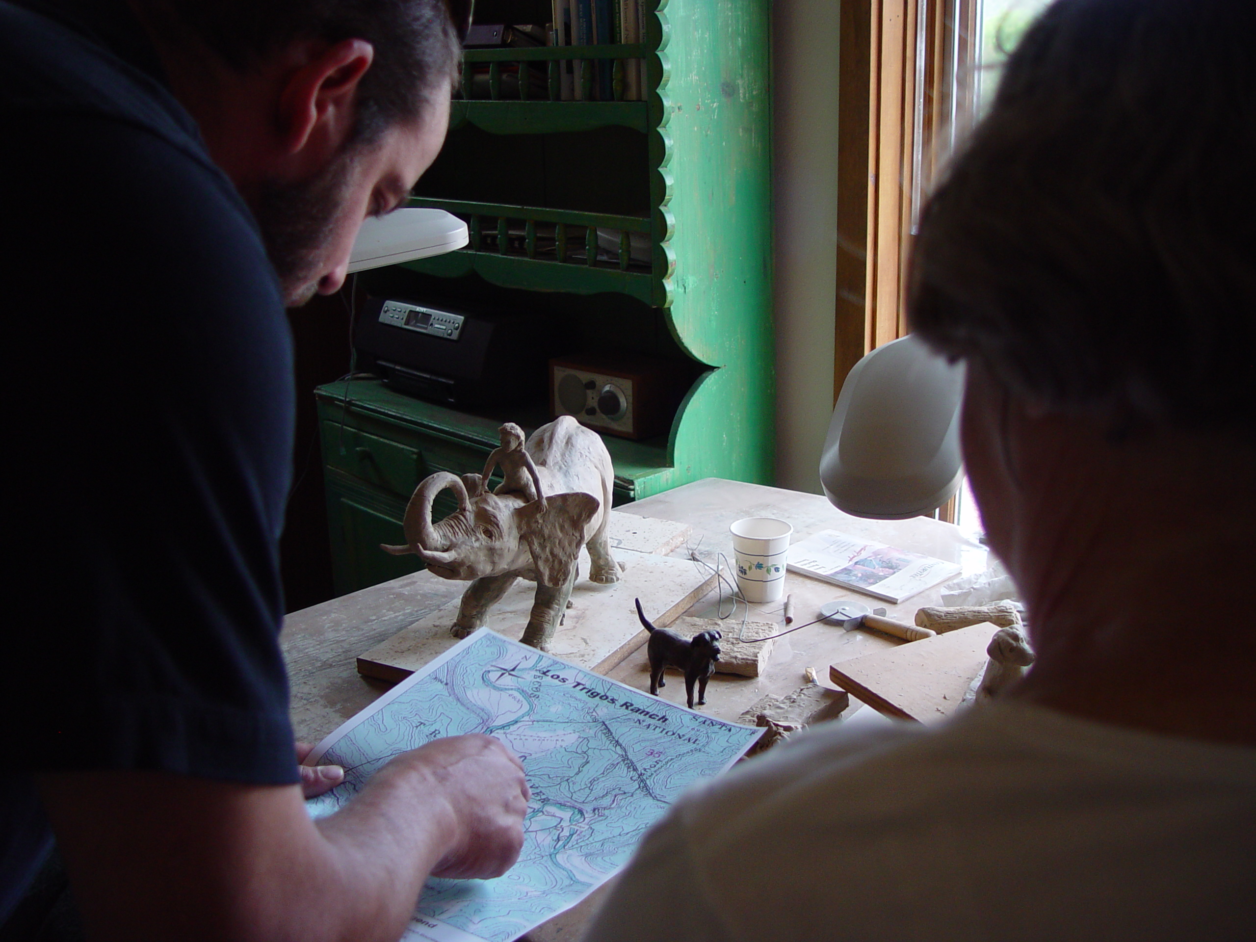
The management and decision-making capabilities of SmartFootprint™ provide customized tools to allow ranch managers to model changes to their land and determine the best ways to manage their property. Common elements of ranch management include simplifying GPS data collection and the integration of work flows.
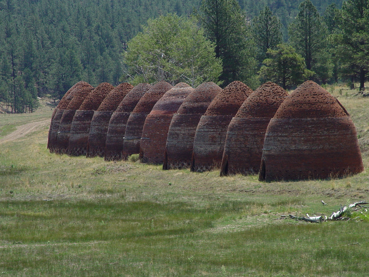
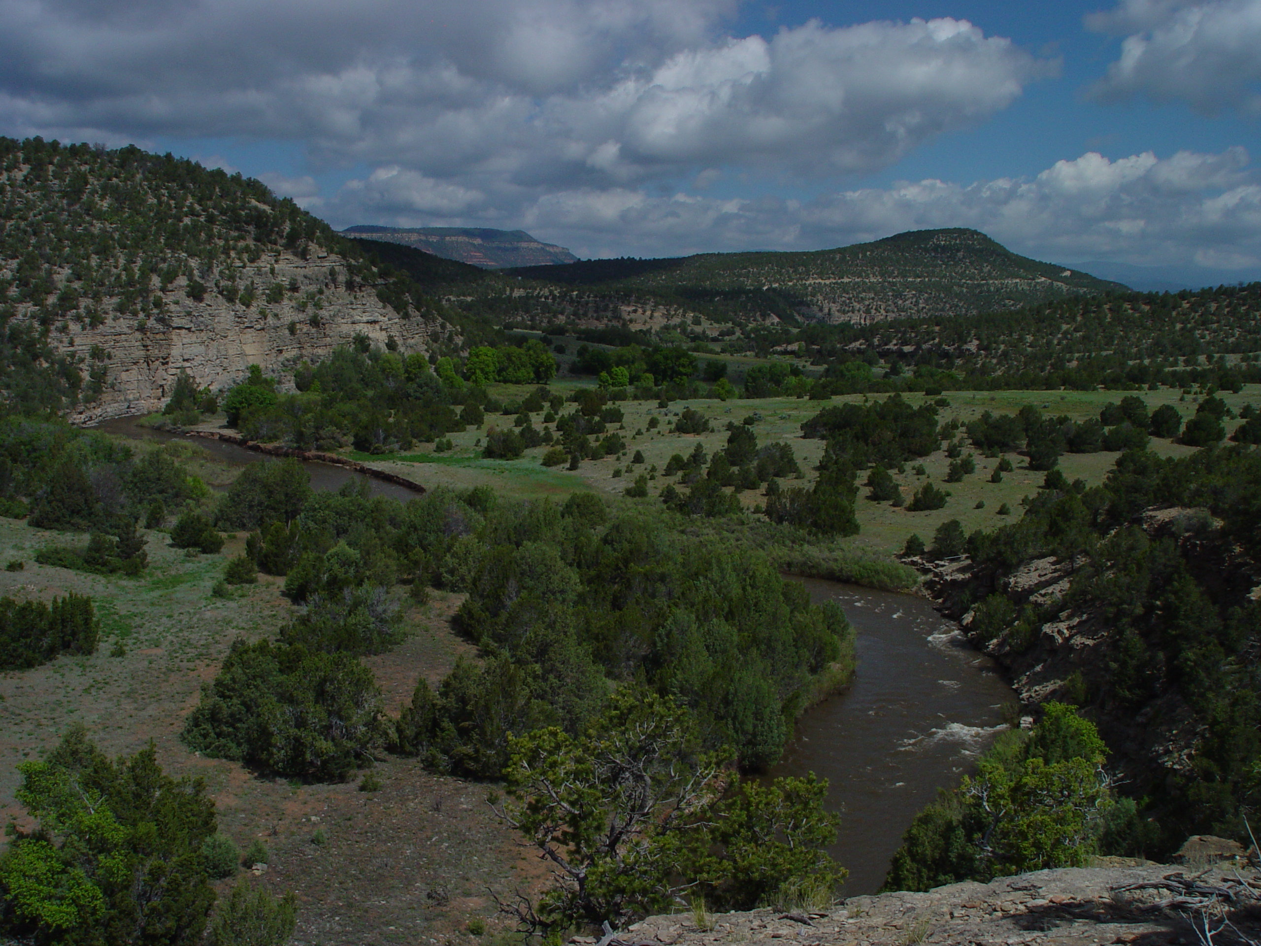
Earth Analytic has consulted with over a dozen private ranches in Colorado, Kansas, Nebraska, New Mexico, Oklahoma, and South Dakota that cover a total area of roughly 1.5 million acres. Among current and previous clients are Bell Ranch, Banded Peak Ranch, and Pecos River Ranch and more than ten ranches owned and managed by Turner Enterprises.
SmartFootprint™ Provides Ranchers With Tools For:
- Mapping
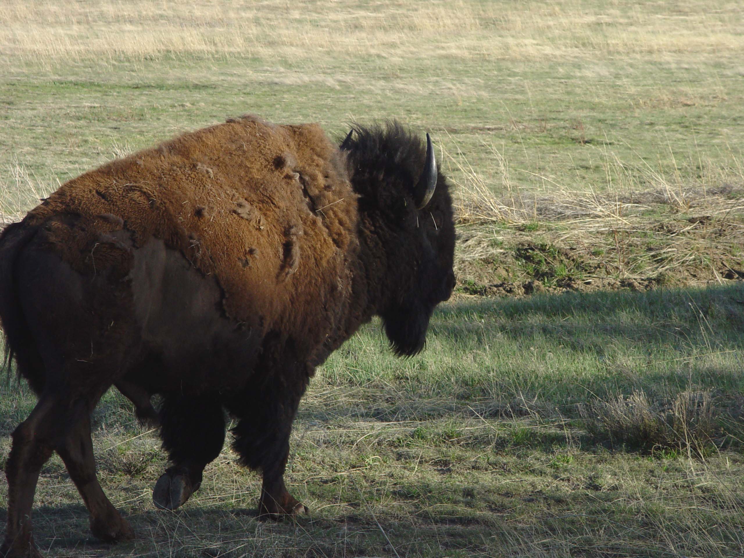
- Wildlife and livestock management
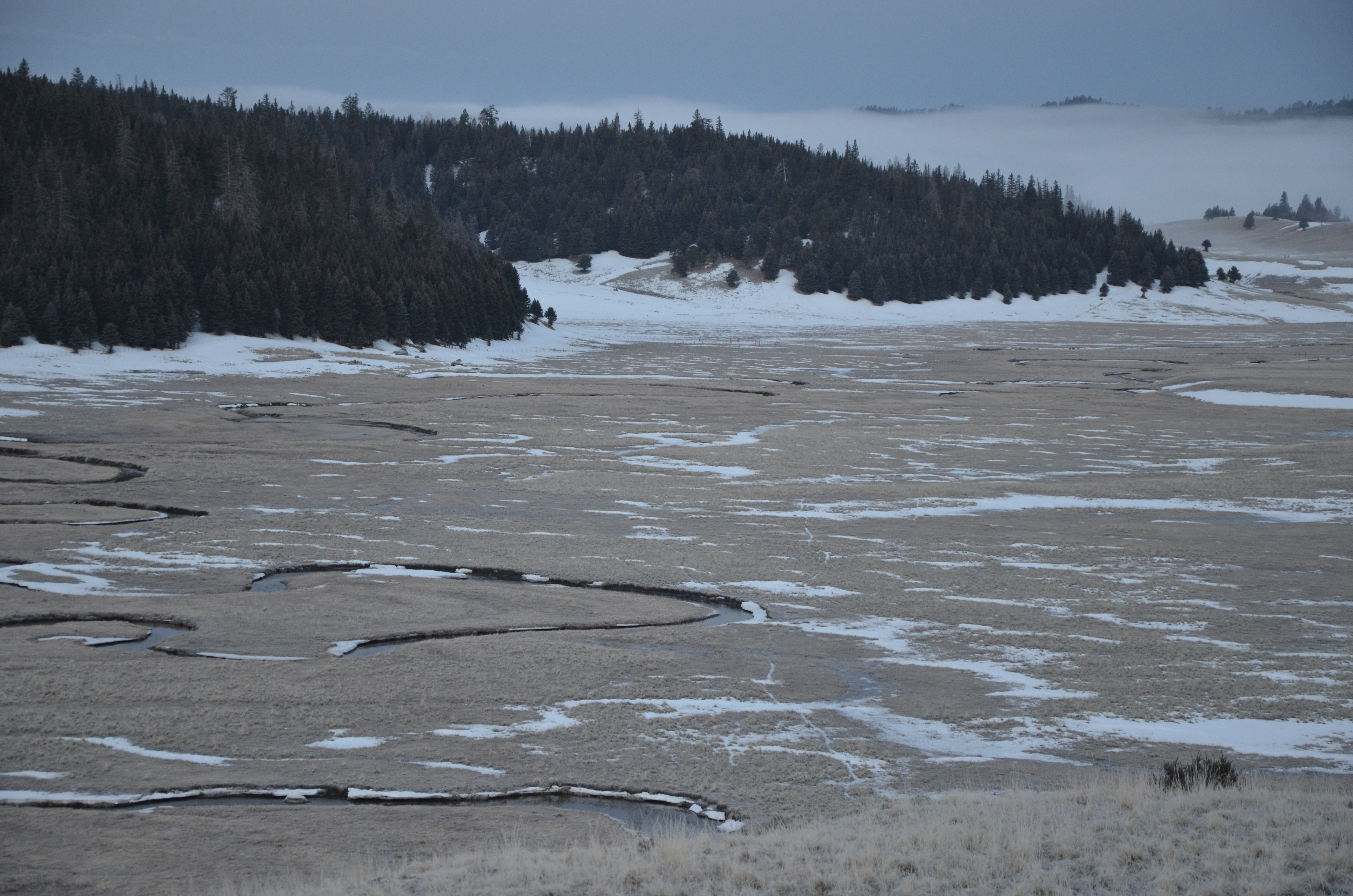
- Habitat assessment and improvement
- Endangered species re-introduction
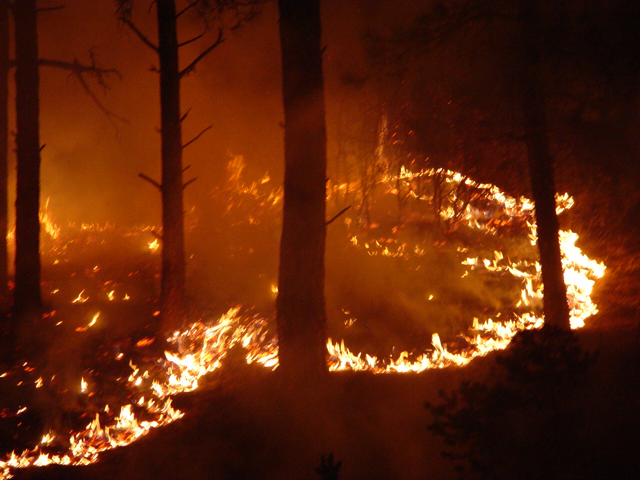
- Ecologically-based forest thinning operations
- Wildfire risk assessment
- Hydrological and environmental analyses
- Ranch infrastructure design and maintenance
SmartFootprint™ Benefits:
- Minimize cost
- Maximize efficiency
- Improve habitat and productivity
- Reduce ecological impact